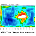
Ground penetrating radar surveys of a cemetery plot was used as part of a historical investigation. This video demonstrates a time/depth slice animation of the GPR data, as gradient heat maps of signal amplitude after post-processing.
(read more)
Ground penetrating radar surveys of a cemetery plot was used as part of a historical investigation. This video demonstrates a time/depth slice animation of the GPR data, as gradient heat maps of signal amplitude after post-processing.
(read more)